Office of Research
USF Health/Tampa General Hospital Cancer Institute Geospatial Analytics Core
Mission Statement
The Geospatial Analytics Core (GAC) is a collaborative initiative of Tampa General Hospital (TGH) Cancer Institute and the University of South Florida (USF) with the goal of integrating best‑in‑class, spatially defined data on population demographics, environmental exposures, health services, interventions, and clinical outcomes to advance cancer research, prevention, and care delivery. The Core applies advanced geospatial science with an ultimate goal to ensure that where a person lives no longer determines the quality, timeliness, or effectiveness of their cancer care.
Rationale and Significance
Cancer risk, access to care, treatment adherence, and survival are profoundly shaped by geography. Structural inequities—such as transportation barriers, environmental exposures, neighborhood socioeconomic conditions, and uneven distribution of clinical resources—create avoidable disparities in cancer incidence and outcomes. Despite the availability of rich clinical, population, and environmental datasets, these data are often siloed, underutilized, or insufficiently integrated with cancer research and clinical operations. In the state of Florida, this is dramatized by health disparities noted in the rural central spine of the state and the Florida panhandle, compared to the east and west coasts where most cities and major health centers are located.
The GAC fills this critical gap by providing centralized expertise and infrastructure to transform complex spatial data into actionable insights that support:
Cancer etiology and outcomes research
Precision population health
Health equity initiatives
Learning health system interventions
Policy and resource planning at institutional and regional levels
-
The GAC will support investigators, clinicians, and community partners through four integrated objectives:
A. Parsing complex data critical for understanding disease onset and progression
The GAC will integrate multi‑level datasets, including:
Electronic health records (EHRs) and cancer registry data
Census and American Community Survey (ACS) data
Environmental and occupational exposure data
Transportation, housing, and neighborhood infrastructure data
Public health surveillance and administrative datasets
Apply spatial linkage methods to connect individual‑level clinical data with place‑based contextual factors while preserving privacy and regulatory compliance.
Support hypothesis‑driven research examining spatial drivers of cancer risk, stage at diagnosis, treatment trajectories, toxicity, survivorship, and mortality.
B. Identifying, quantifying, and communicating patterns of cancer care across diverse communities
Characterize geographic variation in:
Screening uptake and diagnostic delays
Treatment access, modality choice, and adherence
Clinical trial availability and participation
Outcomes across racial, ethnic, rural/urban, and socioeconomic groups
Develop intuitive spatial visualizations (maps, dashboards, and analytic summaries) for investigators, clinicians, and health system leaders.
Support community‑engaged research by translating spatial findings into formats usable by community partners, advocacy groups, and policymakers.
C. Transforming spatial data into actionable insights for policy and system‑level interventions
Inform strategic planning and resource allocation for:
Cancer prevention and early detection programs
Mobile screening, telemedicine, AI-facilitated oncology advisement, and outreach initiatives
Workforce and facility placement
Transportation and navigation services
Support evaluation of policy changes, pilot programs, and service innovations through before‑and‑after spatial analyses.
Provide data‑driven evidence to support institutional, local, and state‑level cancer control initiatives.
D. Developing novel algorithms and real‑time models to operationalize clinical interventions
Design predictive and prescriptive geospatial models that:
Identify communities at elevated cancer risk or with suboptimal access to care
Trigger targeted outreach, navigation, or care coordination efforts
Support real‑time learning health system applications
Collaborate with clinical and informatics teams to embed geospatial intelligence into operational workflows where feasible.
Advance analytical methods that support equity‑focused, place‑based precision medicine.
-
The GAC will provide fee‑for‑service and collaborative support across the cancer research and care continuum, including:
Study design and consultation for grants and protocols incorporating spatial components
Data integration and spatial linkage across clinical, population, and environmental datasets
Geospatial modeling and advanced analytics
Interactive visualizations and dashboards tailored to scientific, clinical, or administrative audiences
Support for pilot projects and early‑stage investigators
Methodological innovation in spatial epidemiology and health services research
Faculty
-
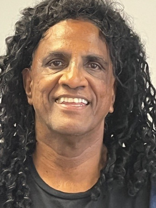 Benjamin Jacob, PhD, MS, MSPH
Director; Associate Professor, Department of Biostatistics and Data Science813-974-9784
Benjamin Jacob, PhD, MS, MSPH
Director; Associate Professor, Department of Biostatistics and Data Science813-974-9784
Key Collaborators
-
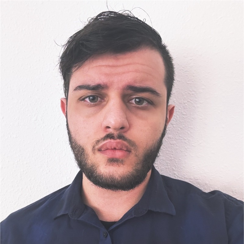 Salah-Eddin Komrokji
Geospatial Analytics Core, Tampa General Hospital Cancer Institute
Salah-Eddin Komrokji
Salah-Eddin KomrokjiGeospatial Analytics Core, Tampa General Hospital Cancer Institute -
 Matthew L. Anderson, MD, PhD
Professor, Departments of Obstetrics & Gynecology and Molecular Pharmacology & Physiology, USF Morsani College of Medicine; Associate Director for Research Analytics and Shared Resources, Tampa General Hospital Cancer Institute813-974-1806
Matthew L. Anderson, MD, PhD
Professor, Departments of Obstetrics & Gynecology and Molecular Pharmacology & Physiology, USF Morsani College of Medicine; Associate Director for Research Analytics and Shared Resources, Tampa General Hospital Cancer Institute813-974-1806
Student Researchers
-
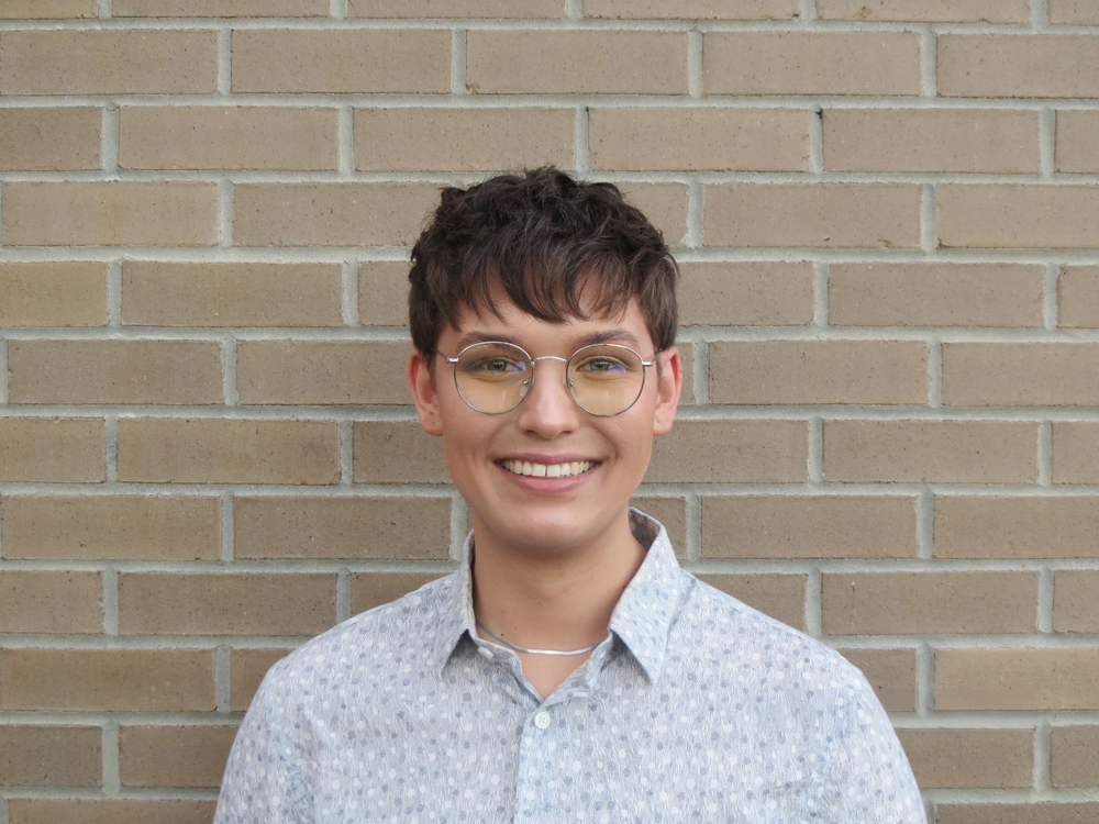 Payton Jachec
Student Researcher, GeoAI Epi. Lab; Department of Biostatistics & Data Science; BSPH, USF College of Public Health
Payton Jachec
Payton JachecStudent Researcher, GeoAI Epi. Lab; Department of Biostatistics & Data Science; BSPH, USF College of Public Health -
 Matt Picaroni
Student Researcher, GeoAI Epi. Lab; Department of Biostatistics & Data Science; College of Public Health
Matt Picaroni
Matt PicaroniStudent Researcher, GeoAI Epi. Lab; Department of Biostatistics & Data Science; College of Public Health